
Surveying and Engineering with Drones
Precision-Aerial provides timely and accurate aerial field data collection services for licensed Surveyors and Engineers. While we are not professional surveyors, we certainly do utilize survey grade equipment to collect and deliver accurate data from the field for the use on your maps, contours, and point clouds to save you time and money.
Preliminary topographic maps provide a wealth of information very quickly. Don’t wait for traditional survey techniques to slowly crawl your site when you can have survey-grade topographic data and CAD drawings within days.
Topographic Services
Preliminary Topographic Maps
Our experience in the mining, construction, engineering, and landfill industries means that we can deliver the results that your survey firm/engineering company needs.
Topo Maps
Cut/Fill Maps
Stockpile Volumetric Data

Drones are quickly replacing antiquated methods of keeping track of your inventory. Precision-Aerial services industry leaders with their inventory counts and provides an aerial view of the site month after month

Precision-Aerial can provide contour lines based on photogrammetry from drones. Why wait for your field crew to know what kind of terrain you're dealing with? With a quick flight and our industry-leading processing, Precision-Aerial delivers relevant contour lines and topo-view for your surveying/engineering firm.

When working on a new site or existing, your team needs to know how much fill to bring in or take out. Maybe you need to accurately measure a surface over time. Our ability to fly the same mission again and again provides your surveying/engineering company with reliable and accurate data faster than ever.
Stockpiles
Cut/Fill Maps
Drone Topo Maps
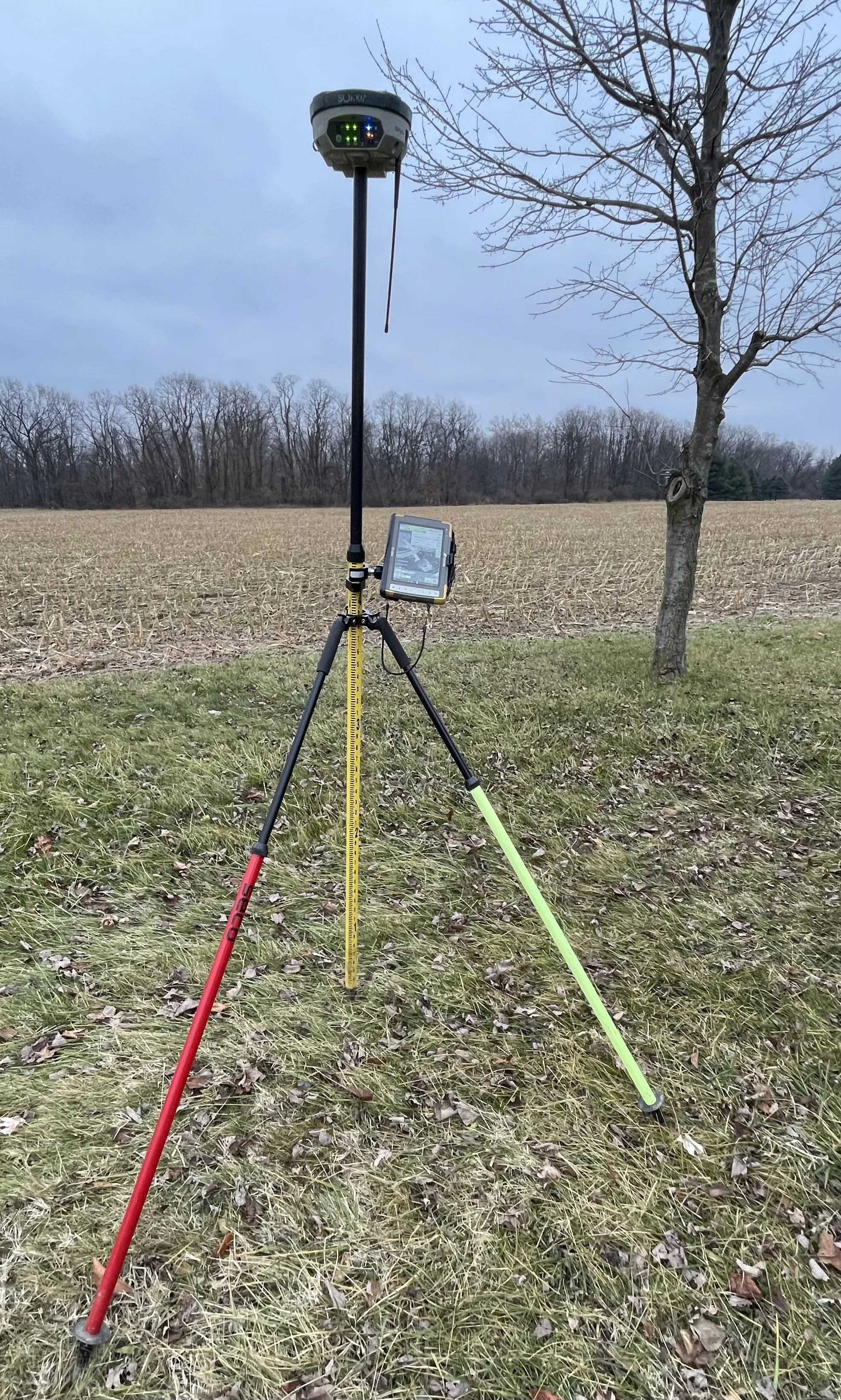
Utilizing GNSS equipment, we set pins and aerial targets that are viewable from as high as 400'. Our drones then capture high resolution imagery, and the points are identified in software thus "tying down" the ortho-map we generate to the surface of the earth.
This highly accurate point-cloud can be manipulated in a variety of software platforms allowing your entire team to see the site as it currently is. With the use of multiple flights at each site over time, your surfaces are compared for precise changes and site progress.
Ground Control
When should drones be used?
Precision-Aerial can provide timely and accurate aerial elevations when your project needs to get going. While drones are able to capture data-rich point clouds with extreme density, surveyors and engineers alike simply don't need the large data sets found in a typical point cloud. We can deliver CAD-compatible topographic data that you can immediately be brought into your software for break-line analysis and more.
Contours
TIN
CSV
DXF
Precision-Aerial provides contour lines based on photogrammetry from drones. You want to know what kind of terrain you're dealing with? With a quick flight and our industry-leading processing, Precision-Aerial delivers relevant contour lines and topo-view your survey /engineering company needs to get your project off the ground and moving.